DataMonkey – GeoAI Analytical Platform
Geospatial analytics & AI assistant with real-time visualizations.
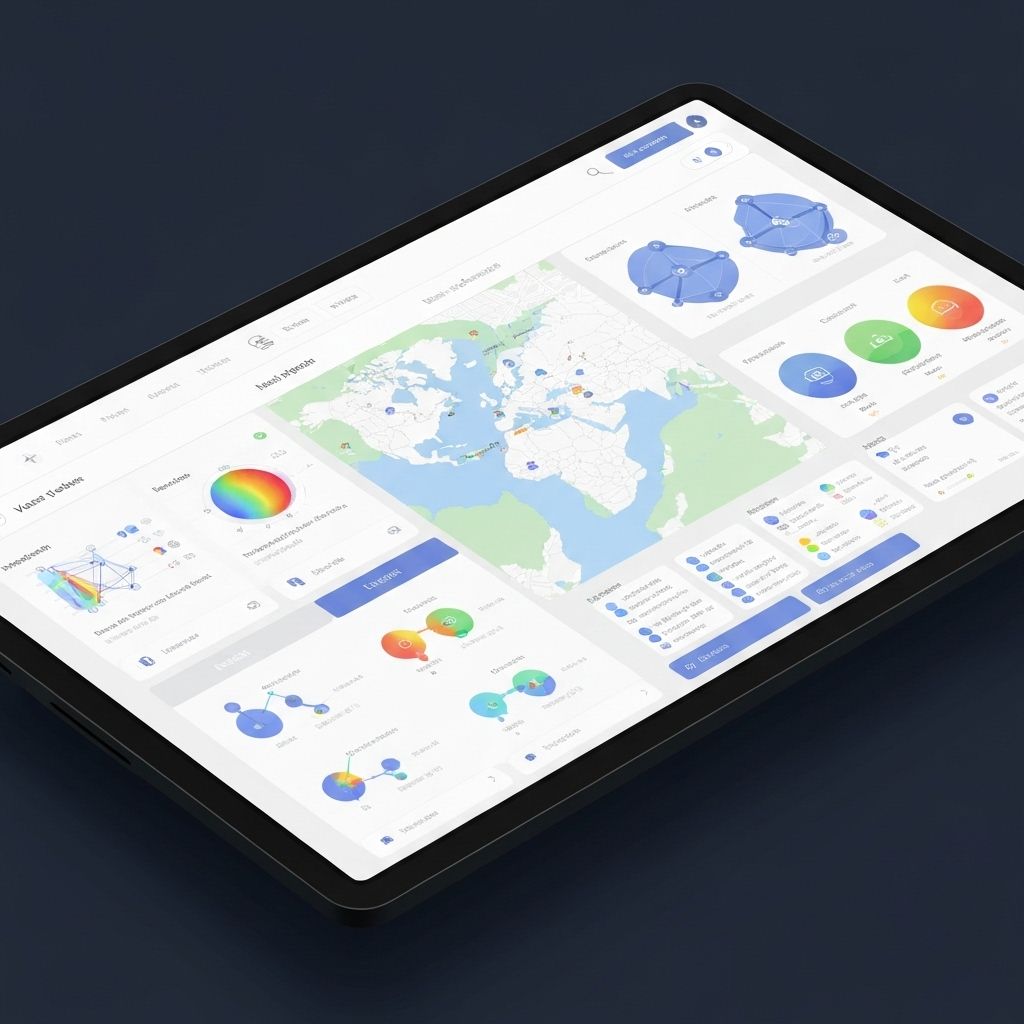
Overview
A comprehensive geospatial analytics platform that combines AI-powered insights with interactive map visualizations, enabling users to query and interpret spatial data through natural language.
The Problem
Organizations struggle to extract meaningful insights from complex geospatial datasets without technical expertise in GIS tools.
Approach & Architecture
Built a React-based platform with Vite for optimal performance, implementing atomic design patterns for component reusability. Integrated Kepler.gl and Deck.gl for powerful map visualizations, and added an AI assistant to democratize data access through conversational queries.
Key Features
AI chat assistant with streaming responses for natural language map queries
Interactive geospatial maps with multiple layer support
Atomic architecture ensuring scalable and maintainable UI components
Stripe integration for subscription management and billing
Real-time data synchronization and visualization updates
Advanced filtering and data exploration tools
Impact & Results
Seamless analytical experience with optimized, high-performance components. Reduced time-to-insight for non-technical users by 70% through AI-powered natural language queries.